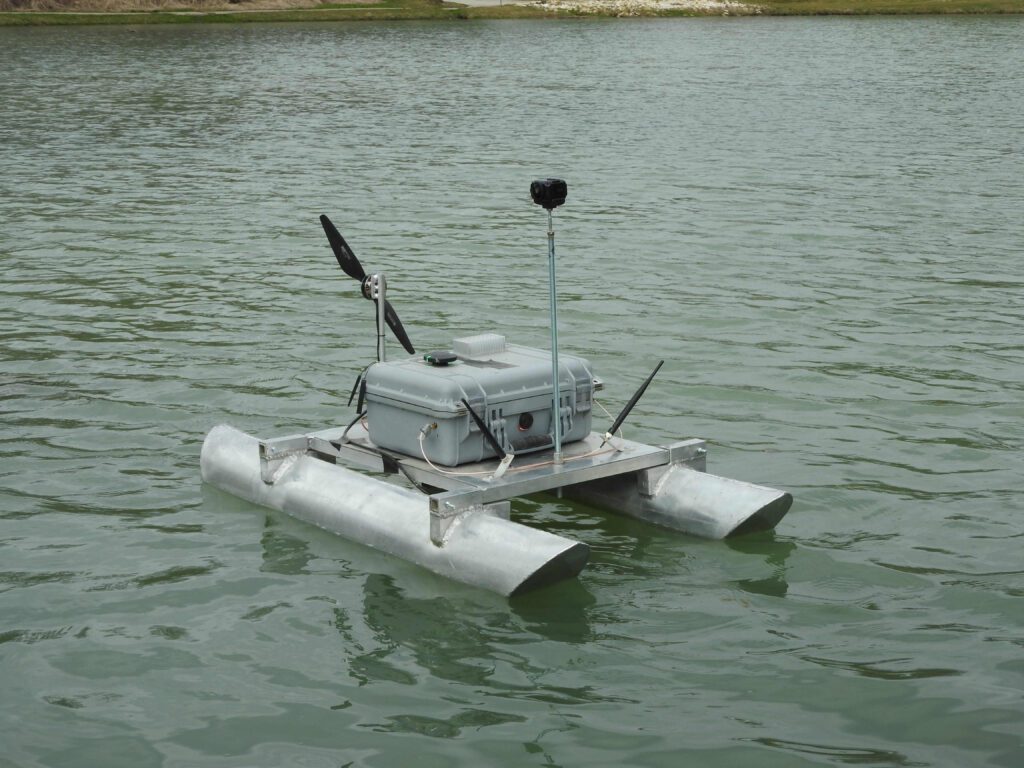
Benzing Surveying, LLC utilizes manned and unmanned remote control vessels in difficult to access locations and shallow water. We specialize in providing accurate and detailed data for small lakes and ponds, creeks and drainage ways, and shallow water environments (depths as shallow as 6 inches), utilizing cutting-edge technology and industry expertise. With a commitment to accuracy and safety, we aim to deliver comprehensive solutions that meet the unique needs of our clients. Explore how we can help you navigate the depths with confidence.
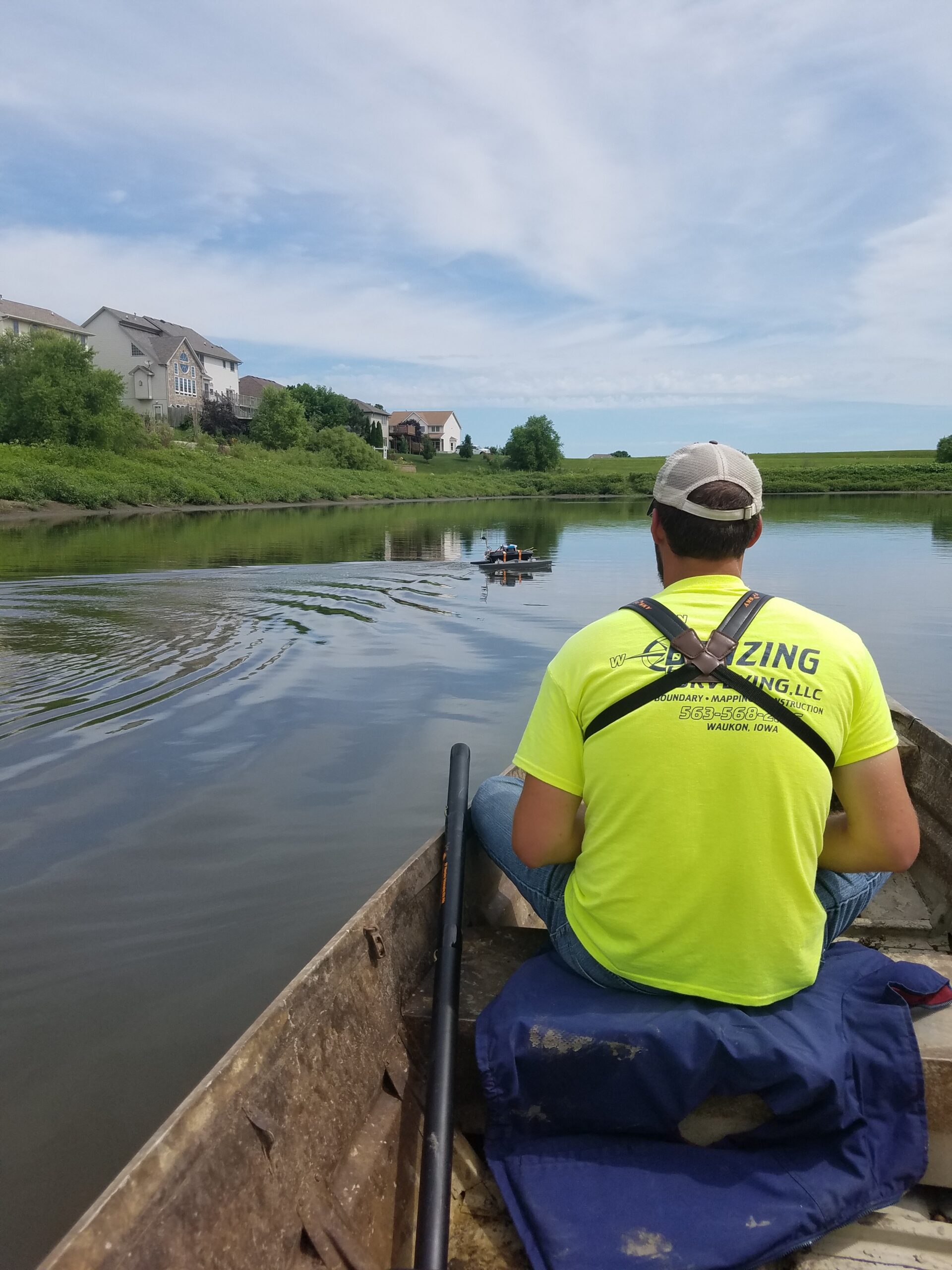
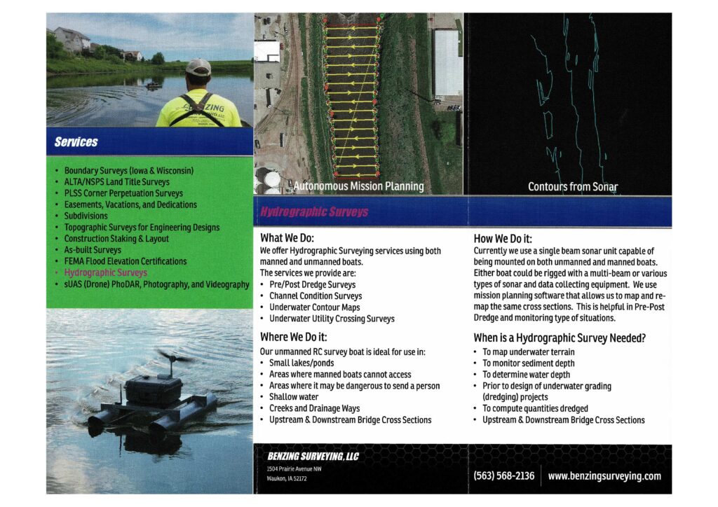
A Hydrographic Survey is used to map underwater terrain, monitor sediment depth, determine water depth, compute quantities dredged, as well as prior to design of underwater grading projects and upstream & downstream bridge cross sections. We offer Hydrographic Surveying services using both manned and unmanned vessels.
The services we provide are:
- Pre/Post Dredge Surveys
- Channel Condition Surveys
- Underwater Contour Maps
- Underwater Utility Crossing Surveys