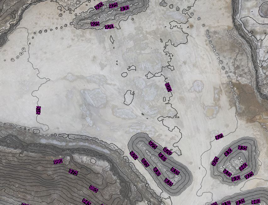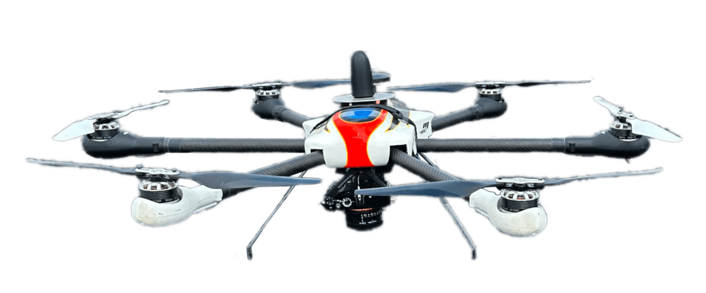
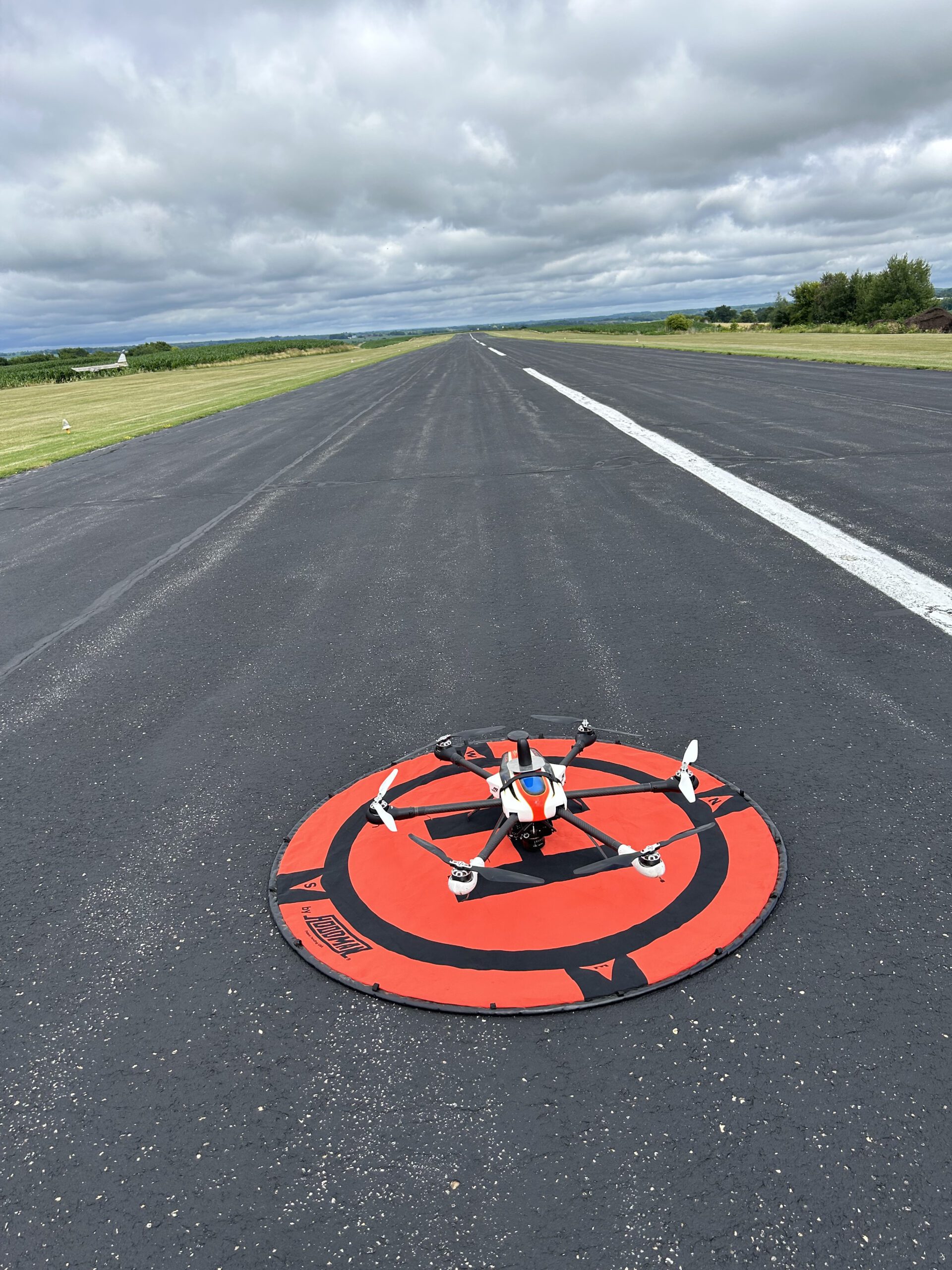
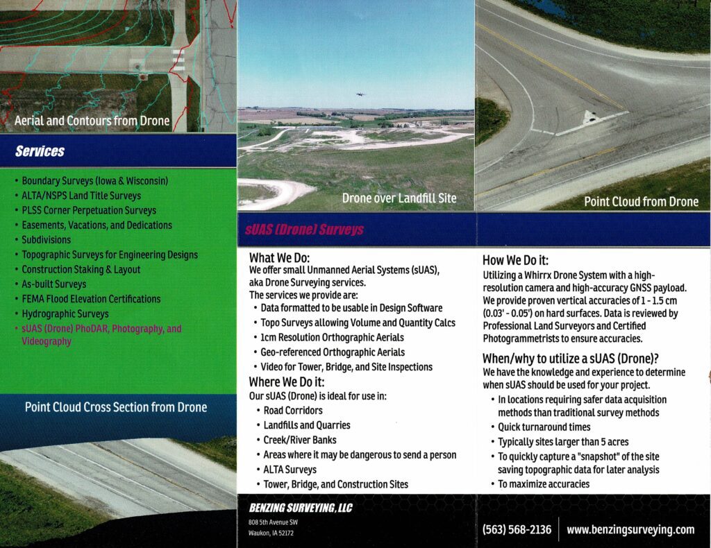
Here at Benzing Surveying, LLC we offer services utilizing sUAS (Small Unmanned Aerial Systems). We have FAA Part 107 Licensed Commercial sUAS Pilots on staff utilizing drone technology with proven vertical accuracies of 1 – 1.5 cm (0.03’ – 0.05’) on hard surfaces. The use of drones allows safer acquisition compared to traditional survey methods. We have the ability to deliver a variety of final products.
Applications
- Road Corridors
- Quarries and Landfills
- Volume and Quantity Calculations
- Site Design
- Construction Observation
- As-built Surveys
- ALTA Surveys
- Tower and Bridge Inspections
Deliverables
- Georeferenced Orthomosaic Images
- Digital Surface Models (DSM)
- Digital Terrain Models (DTM)
- Contour maps
- Point Clouds
- Imagery and Videography